Topologically Integrated Geographic Encoding and Referencing
|
|
Topologically Integrated Geographic Encoding and Referencing, or TIGER, or TIGER/Line is a format used by the United States Census Bureau to describe land attributes such as roads, buildings, rivers, and lakes. The data can be used by GIS applications.
Example
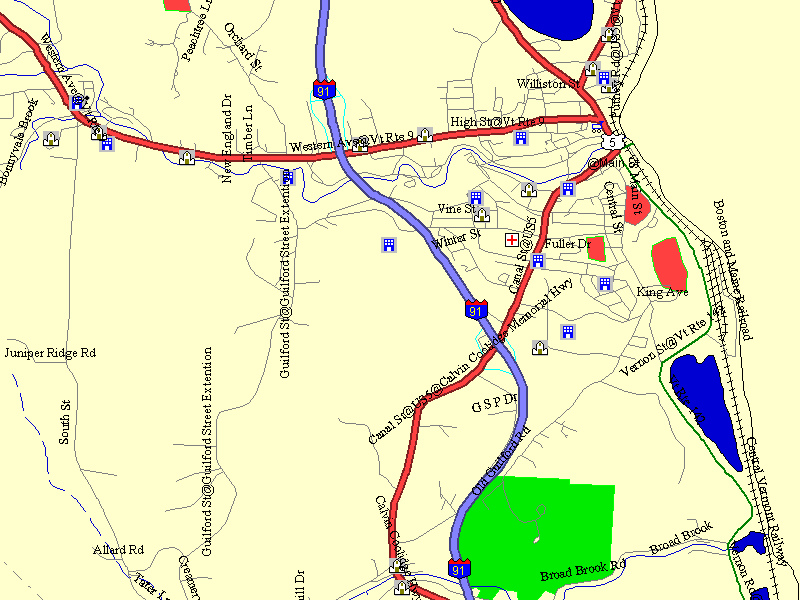
The following is an example of a map generated using TIGER/Line data using the Global Mapper application.
External link
- U.S. Census Bureau TIGER web page (http://www.census.gov/geo/www/tiger/)Template:US-gov-stub

