MODIS
|
|
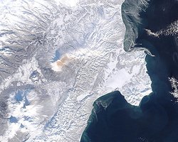
MODIS (Moderate-resolution Imaging Spectroradiometer) is a payload scientific instrument launched into Earth orbit by NASA in 1999 on board the Terra (EOS AM) Satellite, and in 2002 on board the Aqua (EOS PM) satellite. The instruments capture data in 36 spectral bands ranging in wavelength from 0.4 Ám to 14.4 Ám and at varying spatial resolutions (2 bands @ 250m, 5 bands @ 500m and 29 bands @ 1km). Together the instruments image the entire earth every 1 to 2 days. They are designed to to provide measurements in large-scale global dynamics including changes in Earth's cloud cover, radiation budget and processes occurring in the oceans, on land, and in the lower atmosphere.
Missing image
MODIS_ATM_solar_irradiance.jpg
MODIS_ATM_solar_irradiance.jpg
Solar irradiance spectrum and MODIS bands.
External links
- Official NASA site (http://modis.gsfc.nasa.gov/)
- MODIS Images of the Day (http://modis.gsfc.nasa.gov/gallery/showall.php)
- Visible Earth: Latest MODIS images (http://visibleearth.nasa.gov/Sensors/Terra/MODIS.html)
- MODIS Rapid Response system (Near Real Time images) (http://rapidfire.sci.gsfc.nasa.gov/)

