
Image:PUTINBAY.jpg
|
|
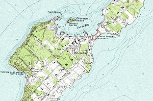
South Bass Island
This image is hosted on a Public Utilities Commission of Ohioserver located at www.puc.state.oh.us/gis/ The URL of the image is www.puc.state.oh.us/ gis/PUTINBAY.GIF It was created by the U.S. Geological Survey (USGS) Digital Raster Graphics system and is a scan of a public domain map, as far as I know.
Template:PD-USGov-Interior-USGS
File links
There are no pages that link to this file.