
Image:BakerIsland.jpeg
|
|

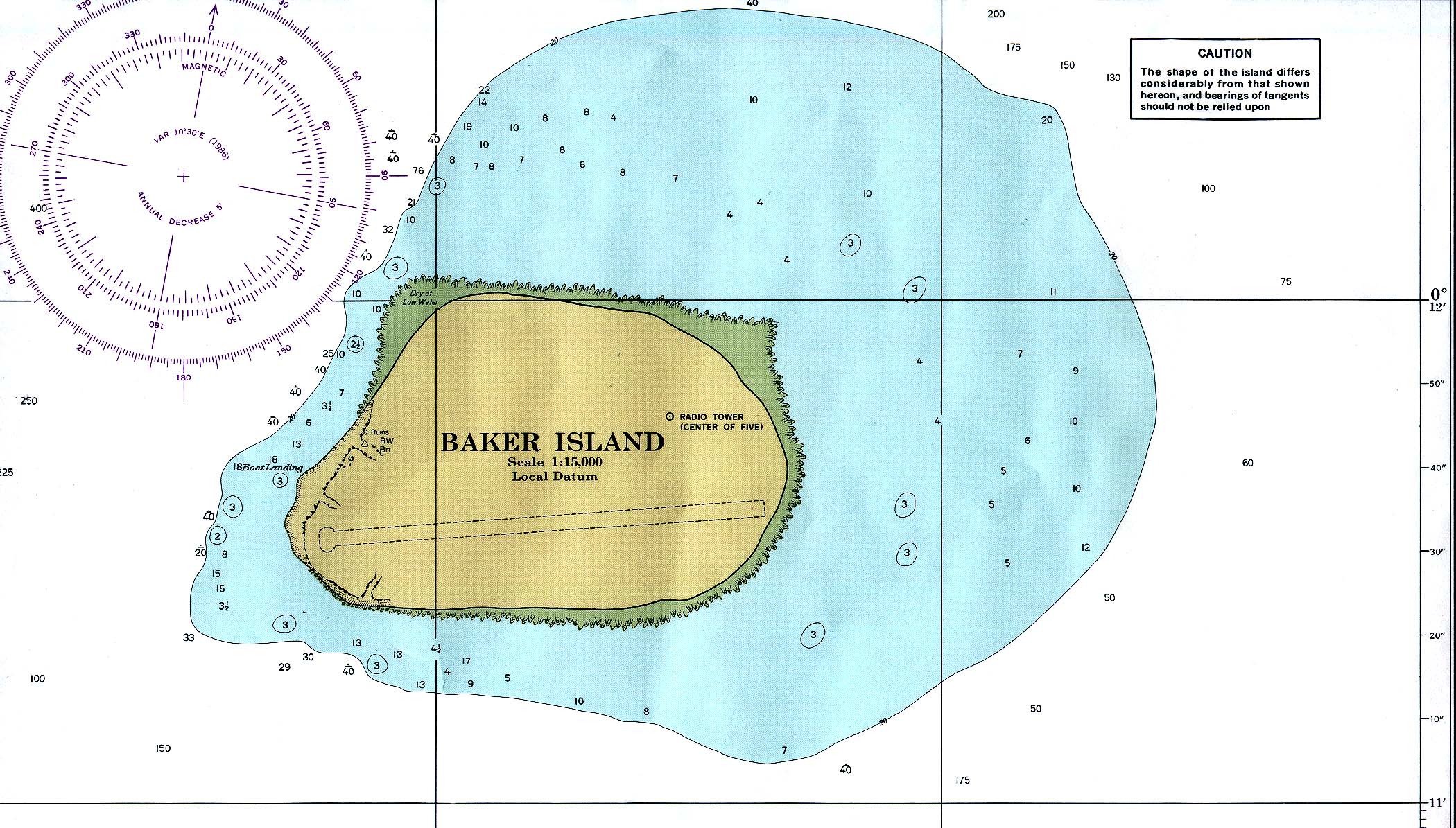
Baker Island
Modified from PCL map collection (http://www.lib.utexas.edu/maps/index.html)
- Baker_island_86.jpg (http://www.lib.utexas.edu/maps/islands_oceans_poles/baker_island_86.jpg). Nautical chart, original 1:15000 produced by NOAA, 1978. Subsequent revision: 1986.
| Missing image PD-icon.png Public domain | This image has been released into the public domain by the copyright holder, its copyright has expired, or it is ineligible for copyright. This applies worldwide.
|
File links
There are no pages that link to this file.